Pick a color
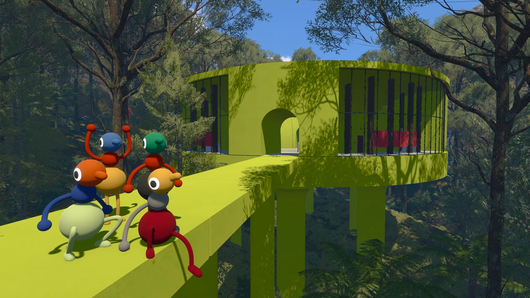
Use the most conspicuous colored structure as a shared destination.
Community working map • Updated Aug 9
Use colored structures, elevation, light, transport, and a shared regroup plan. The schematic helps you orient without turning the island into a checklist.
Before you unlock a map
Use the most conspicuous colored structure as a shared destination.
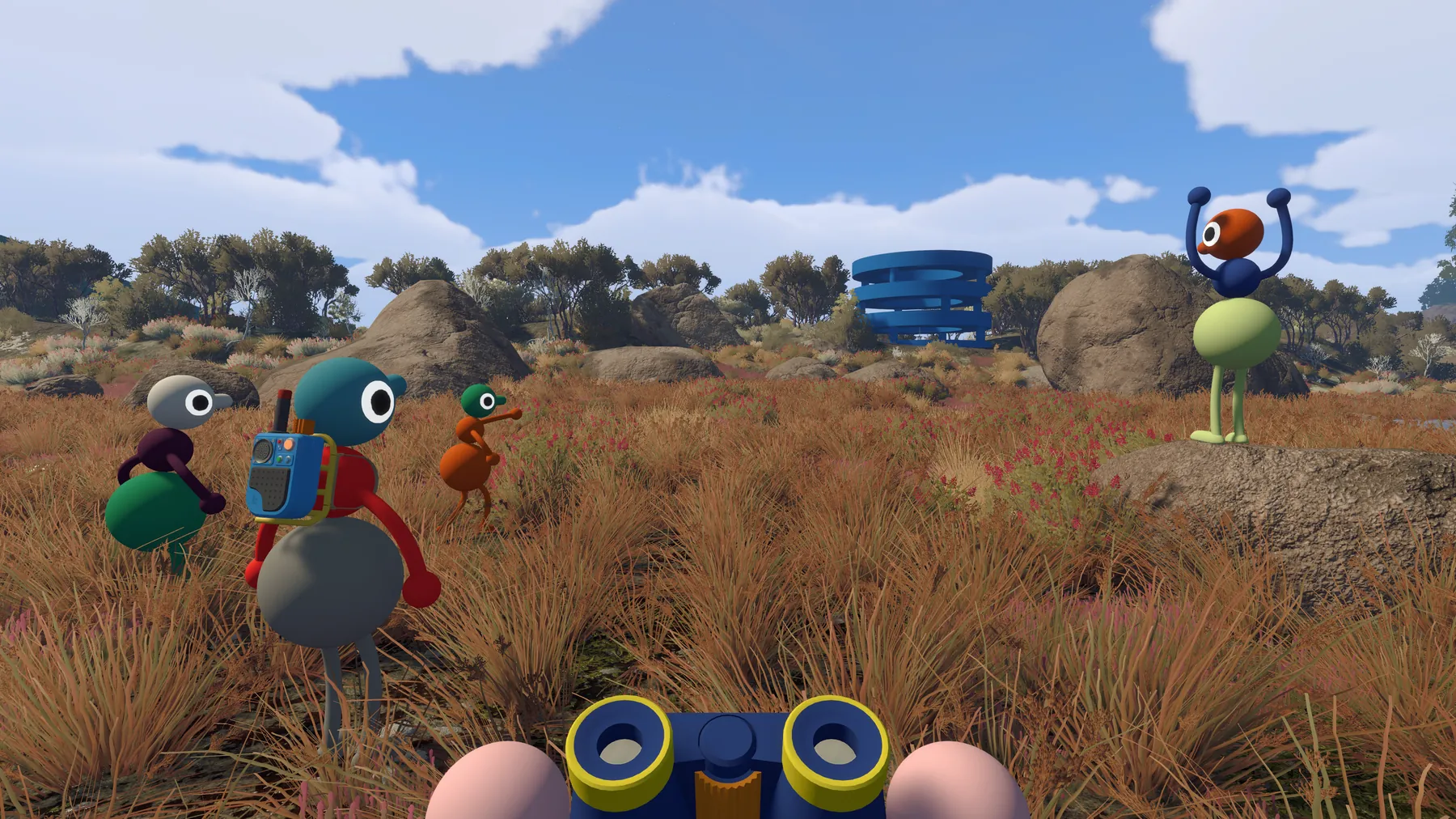
High ground gives binocular sightlines and makes landmarks easier to compare.
Choose a flare, radio call, or unmistakable structure before splitting.
Assign a light carrier and reduce the distance between sub-groups.
Working island schematic
Every coordinate is a reported approximate pair from one community map dataset, not an independently verified pin. The source does not reliably name the axes, so this guide does not call them latitude and longitude.
Visible landmarks 16
Reported 3550, 1100Reported 3560, 1425Reported 3670, 1400Reported 3310, 1560Reported 3500, 1620Reported 3380, 1740Reported 3540, 1850Reported 3930, 1900Reported 3950, 1950Reported Route pending QAReported HiddenReported 3520–3660, 1195–1295Reported 3740–3880, 1350–1620Reported 3250–3700, 1930–2020Reported 3740–4100, 1870–2250Reported 3200–3570, 1230–1670No landmark matches this filter.
Puzzle layer
Each cluster links to a detailed area guide. The schematic avoids crowding the island with precise-looking points that have not all received an original coordinate audit.
3520–3660, 1195–12953740–3880, 1350–16203250–3700, 1930–20203740–4100, 1870–22503200–3570, 1230–1670Map Room
The Map Room is reported near 3560, 1425. Community hands-on material describes a terrain model that develops with exploration, plus navigation tools nearby. Those exact tabletop positions still need an original screenshot before publication.
Transport
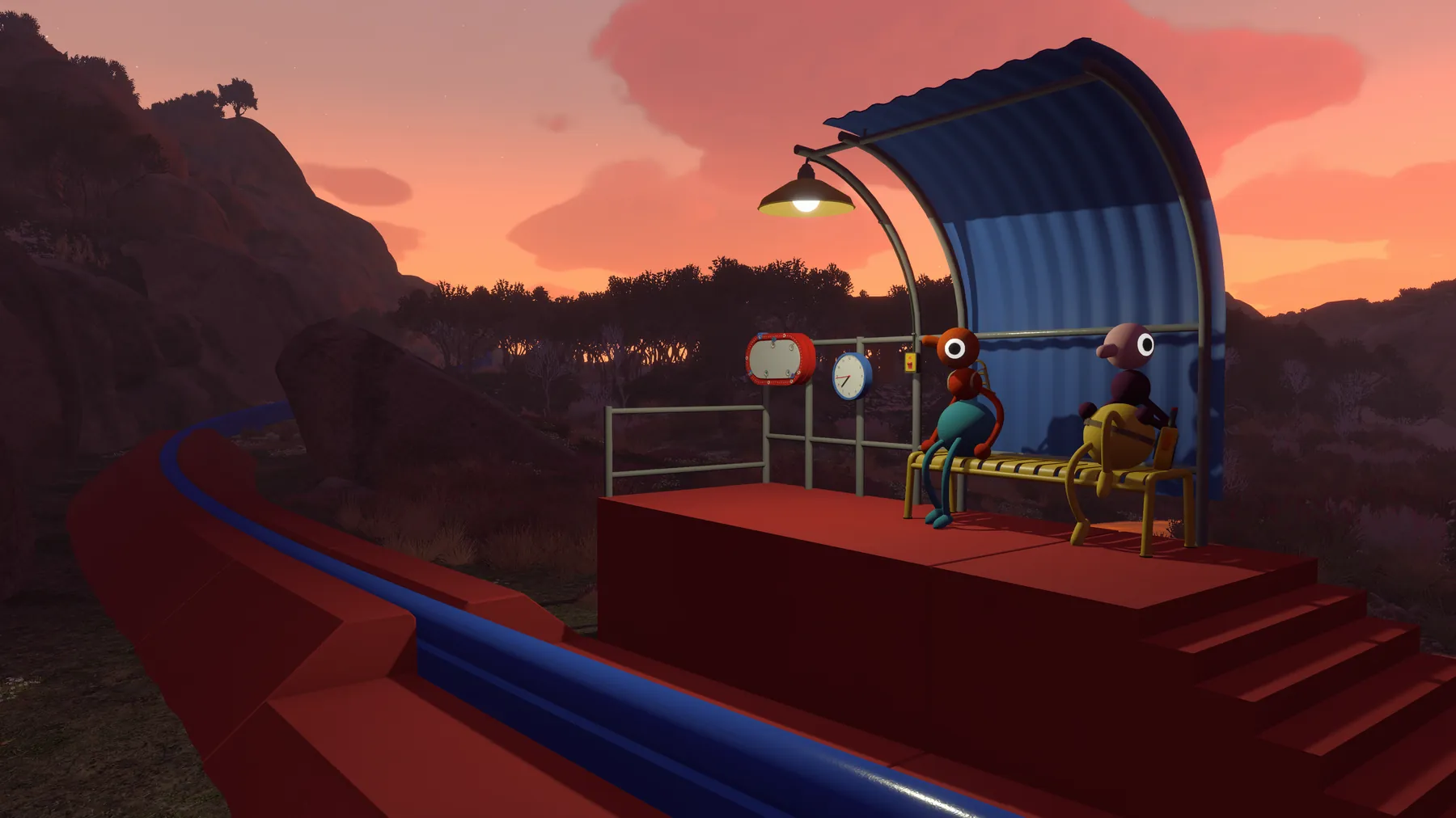
The train and chairlift become both transport and orientation tools. Use stations as reliable meeting points. Exact loop distances and stop counts come from non-official data and are intentionally omitted here.